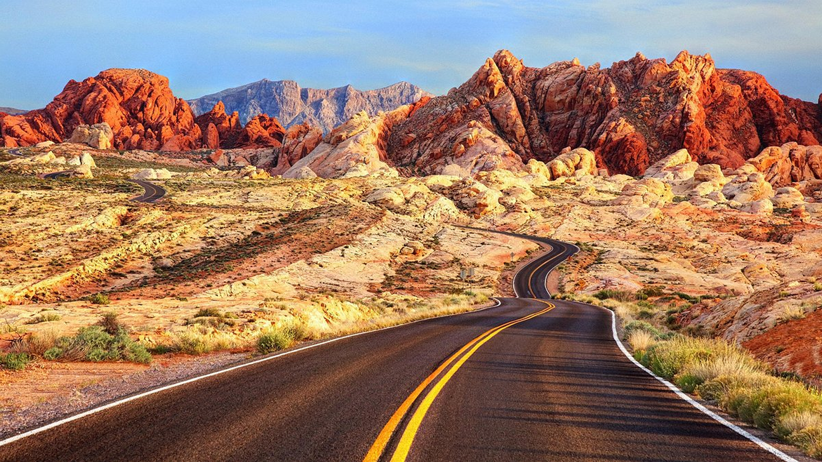
The American Southwest was practically made for road trips — vast distances between dramatically different landscapes, well-maintained highways, and national parks spaced just far enough apart to make every driving day feel like part of the destination rather than dead time. Here are the routes worth building a trip around.
1. The Grand Circle (Classic National Parks Loop)
Route: Las Vegas → Grand Canyon → Zion → Bryce Canyon → Arches/Canyonlands → back to Las Vegas or onward to Denver Distance/time: roughly 1,200–1,500 miles depending on the exact loop, best done over 10–14 days
This is the definitive Southwest road trip, hitting five of the region’s most iconic national parks in one loop. Start in Las Vegas, drive to the Grand Canyon’s South Rim, then head north through Zion’s narrow slot canyons, Bryce Canyon’s hoodoo formations, and finish in Arches and Canyonlands near Moab, Utah — one of the most concentrated stretches of dramatic desert scenery in the country.
2. Route 66 Through Arizona and New Mexico
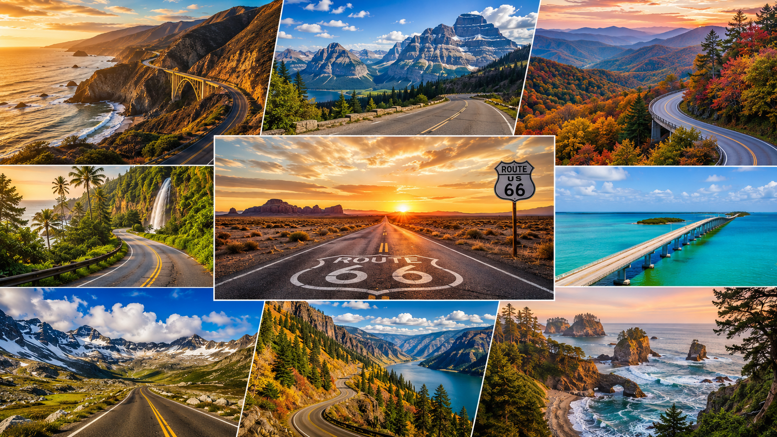
Route: Chicago-to-LA historic route; the Southwest stretch runs roughly Albuquerque → Flagstaff → Kingman → Los Angeles Distance/time: the Southwest portion alone is about 800 miles, 4–6 days
Following the historic Route 66 corridor through New Mexico and Arizona mixes classic American roadside kitsch (diners, motels, vintage signage) with genuine desert scenery, including a worthwhile detour to the Grand Canyon from Williams or Flagstaff.
3. Sedona to Monument Valley
Route: Phoenix → Sedona → Flagstaff → Page (Antelope Canyon, Horseshoe Bend) → Monument Valley Distance/time: roughly 400–450 miles, 4–5 days
A shorter but visually dense route — Sedona’s red rock formations, the slot canyons and Horseshoe Bend near Page, and Monument Valley’s iconic sandstone buttes (familiar from countless films) make this route feel like a highlight reel of Southwest scenery packed into fewer driving hours than the full Grand Circle.
4. Death Valley to Joshua Tree
Route: Las Vegas → Death Valley National Park → Joshua Tree National Park → Palm Springs Distance/time: roughly 450–500 miles, 4–5 days
A route through two of the Southwest’s most distinct desert ecosystems — Death Valley’s extreme, otherworldly landscape (including the lowest point in North America) and Joshua Tree’s surreal rock formations and namesake trees, ending in Palm Springs for a more relaxed final stop.
5. New Mexico’s High Road to Taos
Route: Santa Fe → High Road villages → Taos → back via the Rio Grande Gorge Distance/time: roughly 150–200 miles round trip, 2–3 days
A shorter, culturally rich route through small Spanish colonial-era villages in the mountains north of Santa Fe, ending in Taos with its adobe architecture, art scene, and the dramatic Rio Grande Gorge Bridge.
6. The Turquoise Trail and Beyond
Route: Albuquerque → Turquoise Trail (Madrid, Cerrillos) → Santa Fe → onward to Taos or Chaco Culture National Historical Park Distance/time: varies significantly depending on extensions, base loop around 100–150 miles
A scenic alternative to the interstate between Albuquerque and Santa Fe, passing through small former mining towns turned artist communities — a good add-on to extend either the High Road to Taos route or a broader New Mexico trip.
Planning Tips
- Distances are deceptive. Southwest roads often look short on a map but involve long stretches without services — always fill up on gas when you see a station in remote stretches rather than waiting.
- Summer heat is serious, especially in Death Valley and lower-elevation desert areas — plan driving and hiking around early mornings, and carry more water than feels necessary.
- National park entry passes (like the America the Beautiful annual pass) pay for themselves quickly on multi-park routes like the Grand Circle.
- Book accommodation near park entrances well ahead for peak season (spring and fall especially) — lodges inside or near popular parks sell out months in advance.